
Ari is your everyday companion for life in Swiss cities. We combine curated routing and mapping with (live) city data into a sovereign app that helps you rediscover your city, with hyperlocal data and a fully personalizable interface through widgets.
Our app is built on sovereign Swiss data and runs on our own mapping and routing engine, not someone else's.
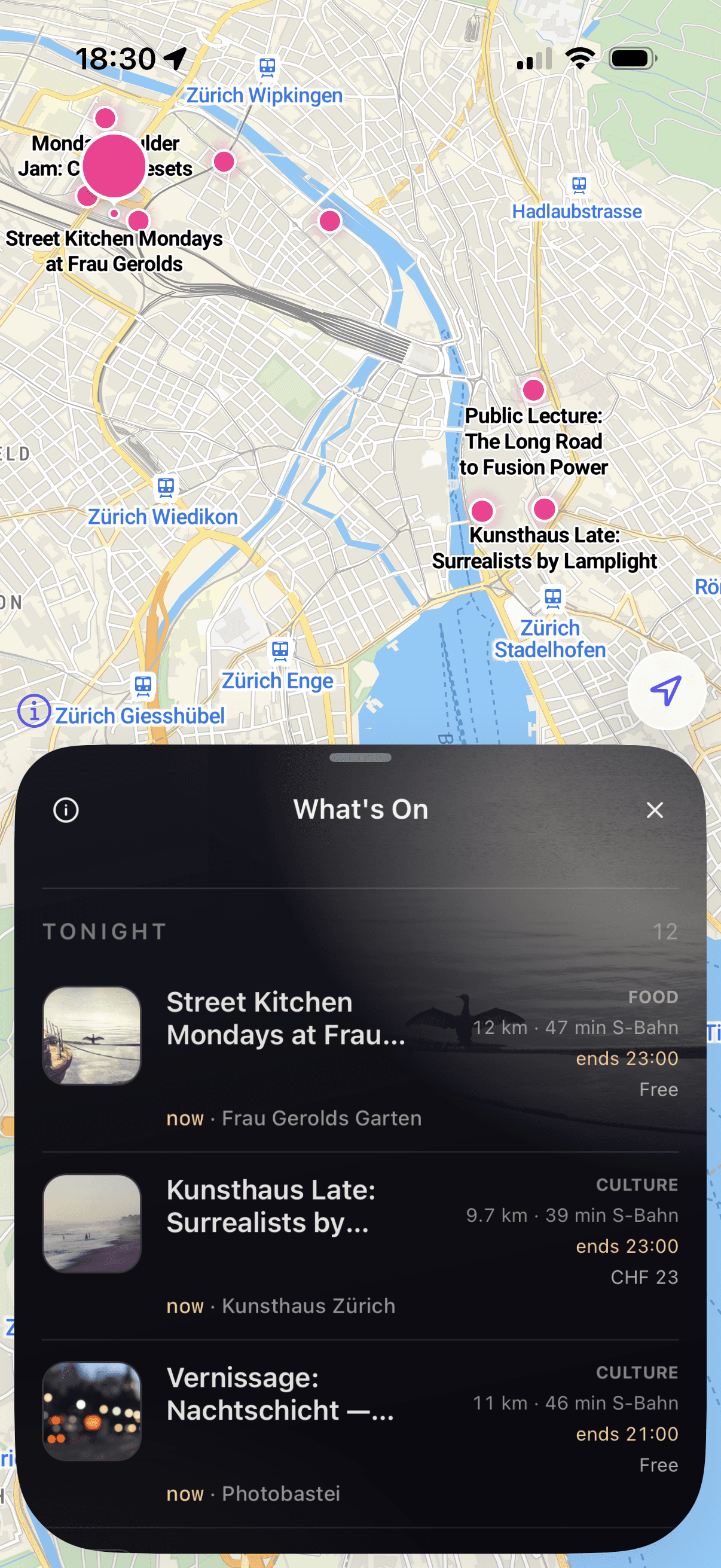
Contextual assistant
Ari is a contextual assistant that understands where you are, what you're looking at, and what you need, without you having to spell it out.
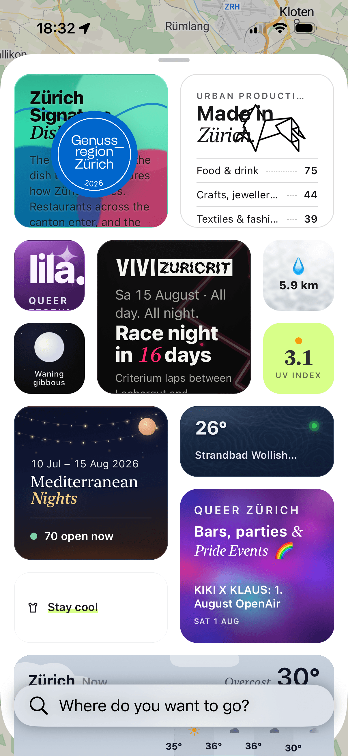
But what exactly do we map in the app?
Drinking fountains near you, water temperatures at the Badis, restaurants, local events, and much more. Ari keeps track of local infrastructure and curates it based on your needs. So you can focus on discovering your city, instead of checking five different apps.
Built for real movement
Various navigation features help you find routes based on selected parameters, depending on what you need right now! We're starting with three routing modes in Zurich:
Fast Route
The fastest route, gets you to your destination in the shortest time.
Green Route
Takes you along water, parks, and green spaces for a more relaxed walk.
Safe Route
Takes factors like lighting, traffic, and police crime data into account, so you can move through the city safely.